|
|
|
| Maps > North America > Canada |
Historic and contemporary maps of Canada including physical and political maps of provinces and territories, early exploration and settlement, climate, vegetation, battle plans, geomorphic, and automobile route maps.
|
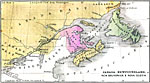
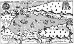
Canada, Newfoundland, New Brunswick, and Nova Scotia,
1492–1607 |
|
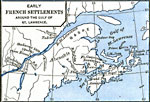
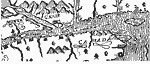
Early French Settlements Around the Gulf of St. Lawrence,
1497–1620 |
|
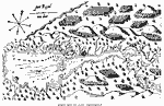
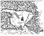
Port Royal (after Champlain),
1603–1639 |
|
Tadoussac,
1608 |
|
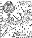
The St. Lawrence,
1609 |
|
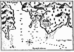
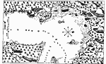
Port Royal, or Annapolis Basin (after Lescarbot),
1609 |
|
The Site of Montreal,
1609 |
|
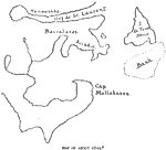
Gulf of St. Lawrence and Acadia,
1610 |
|
Easterly Portion of Champlain's Map,
1612 |
|
Quebec,
1613 |
| Next | Last |
| Maps > North America > Canada |
Maps ETC is a part of the Educational Technology Clearinghouse
Produced by the Florida Center for Instructional Technology © 2009
College of Education, University of South Florida