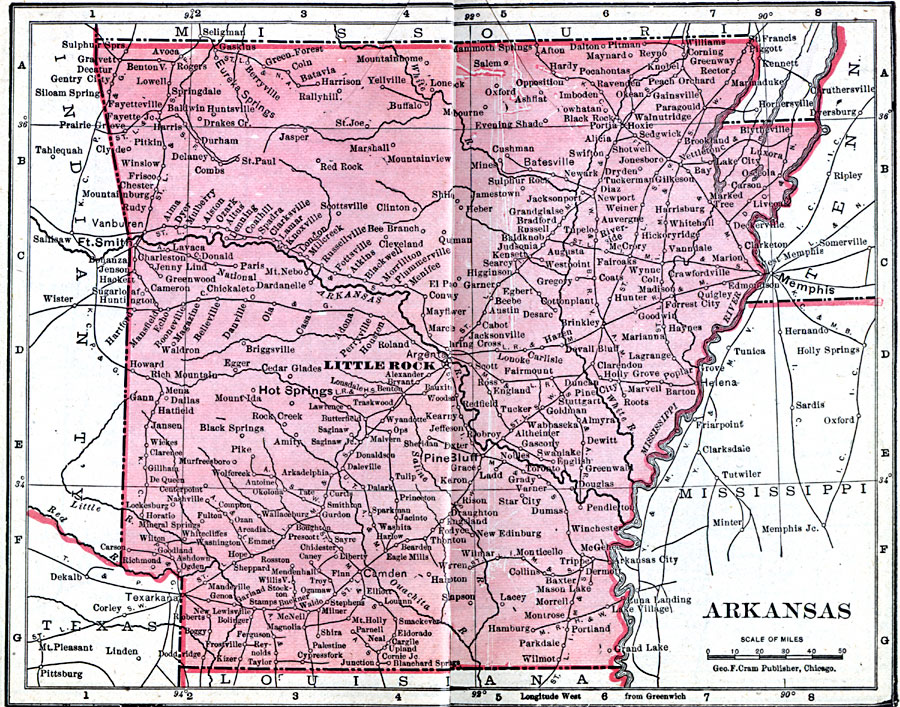
Description: A map of Arkansas from 1906 showing the State capital of Little Rock, major cities and towns, railroads, and rivers.
Place Names: Arkansas, Benton, �Clinton, �Fayetteville, �Fort Smith, �Helena, �Hot Springs, �Jonesboro, �Little Rock, �Pine Bluff, �Texarkan
ISO Topic Categories: boundaries,
inlandWaters,
location,
oceans
Keywords: Arkansas, physical, �political, �borders, �boundaries, �physical features, country borders, boundaries,
inlandWaters,
location,
oceans, Unknown, 1906
Source: George F. Cram , Cram's Quick Reference Atlas and Gazetteer of the World (Chicago , IL: George F. Cram Series of Atlases, 1906) 38
Map Credit: Courtesy the private collection of Roy Winkelman |
|