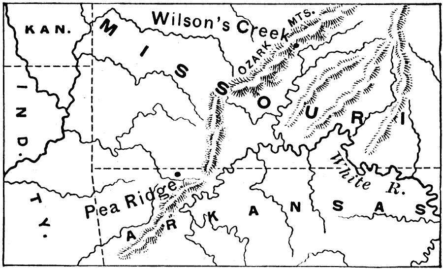
Description: A map of the portions of Missouri and Arkansas showing the battle sites of Wilson's Creek or Battle of Oak Hills (Missouri, August 10, 1861) and Pea Ridge or Battle of Elkhorn Tavern (Arkansas, March 7–8, 1862) fought in the American Civil War. The map shows the mountains and rivers of the area.
Place Names: Civil War, Wilson's Creek, �Pea Ridge, �Arkansas, �Kansas, �Missour
ISO Topic Categories: boundaries,
intelligenceMilitary,
inlandWaters,
location
Keywords: Battles of Wilson's Creek and Pea Ridge, physical, �political, �historical, physical features, major political subdivisions, Civil War, boundaries,
intelligenceMilitary,
inlandWaters,
location, Unknown, 1861–1862
Source: Edward Eggleston, The Household History of the United States and Its People (New York, NY: D. Appleton and Company, 1898) 315
Map Credit: Courtesy the private collection of Roy Winkelman |
|