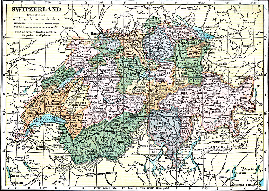
Description: A map of Switzerland in 1920, showing major cities and towns, railroads, rivers, lakes, and terrain. The map is color–coded to show the Cantons of Switzerland.
Place Names: Switzerland, Bern, �Basel, �Zurich, �St. Gallen, �Vulpera, �Matterhorn, �Lausanne, �Geneva, �Neuchatel, �Biel, �Ruti, �Stans, �Altdorf, �Zuric
ISO Topic Categories: boundaries,
inlandWaters,
location,
transportation
Keywords: Switzerland, physical, �political, �transportation, physical features, country borders,
major political subdivisions, railroads, boundaries,
inlandWaters,
location,
transportation, Unknown, 1920
Source: , Leslie's New World Atlas (New York City, New York: Leslie-Judge Company, 1920) 22
Map Credit: Courtesy the private collection of Roy Winkelman |
|