|
|
|
| Maps > Europe > Switzerland |
Historic and contemporary maps of Switzerland, including political and physical maps, for use in the K-12 classroom.
|
Switzerland,
1291–1599 |
|
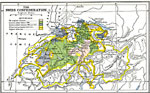
The Swiss Confederation,
1481–1513 |
|
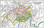
The Grisons (Graubunden) and the Valtelline,
1622 |
|
Switzerland,
1803–1815 |
|
Switzerland,
1847 |
|
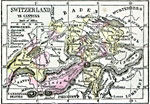
Switzerland in Cantons,
1859 |
|
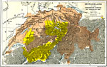
Switzerland,
1872 |
|
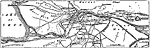
Environs of Interlaken,
1903 |
|
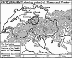
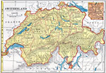
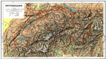
Switzerland,
1904 |
|
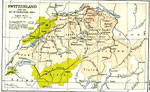
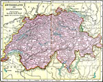
Switzerland and Liechtenstein,
1906 |
| Next | Last |
| Maps > Europe > Switzerland |
Maps ETC is a part of the Educational Technology Clearinghouse
Produced by the Florida Center for Instructional Technology © 2009
College of Education, University of South Florida