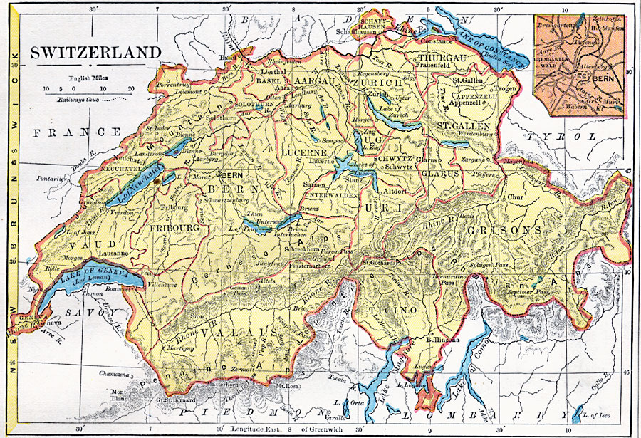
Description: A map of Switzerland in 1872, showing the Cantons, major cities and towns, railways, mountain systems and passes, rivers, and lakes. An inset map details the area around Bern, and a latitude reference to New Brunswick is shown on the left edge.
Place Names: Switzerland, Geneva, �Lugano, �Chur, �Zurich, �Basel, �Fribourg, �Lausann
ISO Topic Categories: boundaries,
location,
inlandWaters,
transportation
Keywords: Switzerland, physical, �transportation, physical features, railroads, boundaries,
location,
inlandWaters,
transportation, Unknown, 1872
Source: James Monteith, Comprehensive Geography (New York, New York: A. S. Barnes and Company, 1872) 71
Map Credit: Courtesy the private collection of Roy Winkelman |
|