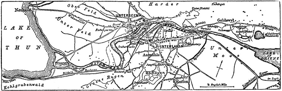
Description: A map of Interlaken, Switzerland, and surrounding vicinity in 1903. The map shows the city on the River Aare between Lake Thun and Lake Brienz, neighboring cities and towns, roads, railways, and countryside.
Place Names: Switzerland, Aarmühle, �Bern, �Brienz, �Interlaken, �Oberfeld, �Thun, �Unterfeld, �Untersee
ISO Topic Categories: oceans,
location,
inlandWaters
Keywords: Environs of Interlaken, physical, �transportation, railroads, oceans,
location,
inlandWaters, Unknown, 1903
Source: Spencer Baynes, LL.D., and W. Robertson Smith, LL.D., eds., The Encyclopedia Britannica vol. 13 (New York, NY: The Werner Company, 1903) 188
Map Credit: Courtesy the private collection of Roy Winkelman |
|