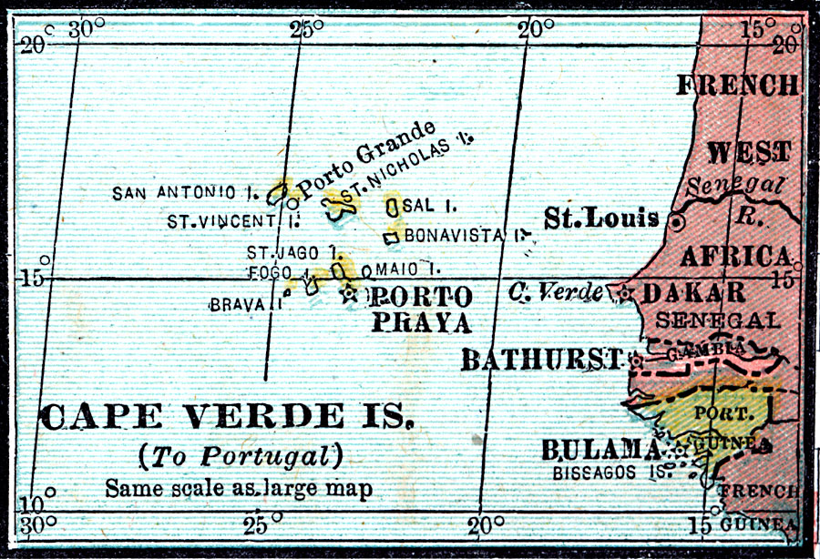
Description: A map of the Cape Verde Islands in 1920, a possession of Portugal at the time.
Place Names: Cape Verde, Porto Praya, �Porto Grande, �San Antonio, �St. Vincent, �Brava, �Sal, �Bonavista, �Maio, �Bulama, �St. Loui
ISO Topic Categories: boundaries,
location,
oceans
Keywords: Cape Verde Islands, physical, �political, physical features, country borders, boundaries,
location,
oceans, Unknown, 1920
Source: , Leslie's New World Atlas (New York City, New York: Leslie-Judge Company, 1920) 30
Map Credit: Courtesy the private collection of Roy Winkelman |
|