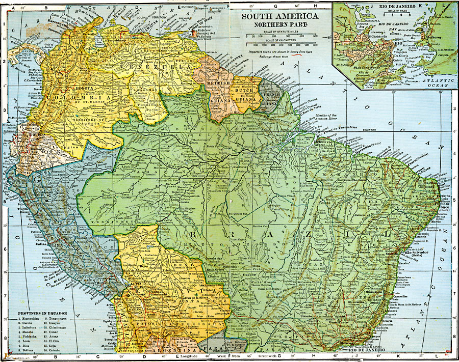
Description: A map of the northern part of South America, with an inset of Rio De Janeiro.
Place Names: A Regional Map of South America, Columbia, �Venezuela, �Brazil, �Peru, �Bolivia, �Paraguay, �Guian
ISO Topic Categories: boundaries,
inlandWaters,
location,
transportation
Keywords: Northern South America, physical, �political, �transportation, physical features, county borders, railroads, boundaries,
inlandWaters,
location,
transportation, Unknown, 1920
Source: John C. Winston, Winston's New and Complete Atlas of the World (New York, NY: The John C. Winston Company, 1920) 136
Map Credit: Courtesy the private collection of Roy Winkelman |
|