|
|
|
| Maps > South America > Regional Maps |
A collection of regional political and physical maps of South America.
|
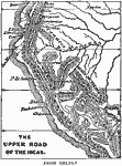
Upper Road of the Incas,
1438–1543 |
|
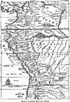
Early Spanish Map of Peru,
1774 |
|
Northwestern South America,
1861 |

|
The peaks and volcanoes which form the Andes,
1873 |
|
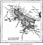
Lake Titicaca,
1889 |
|
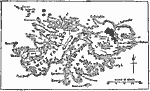
The Falkland Islands,
1903 |
|
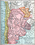
Argentine Republic, Chile, Paraguay, and Uruguay,
1904 |
|
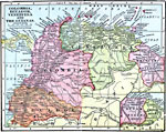
Colombia, Ecuador, Venezuela and the Guianas,
1906 |
|
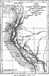
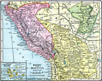
Peru and Bolivia,
1906 |

|
Brazil and Guiana,
1911 |
| Next | Last |
| Maps > South America > Regional Maps |
Maps ETC is a part of the Educational Technology Clearinghouse
Produced by the Florida Center for Instructional Technology © 2009
College of Education, University of South Florida