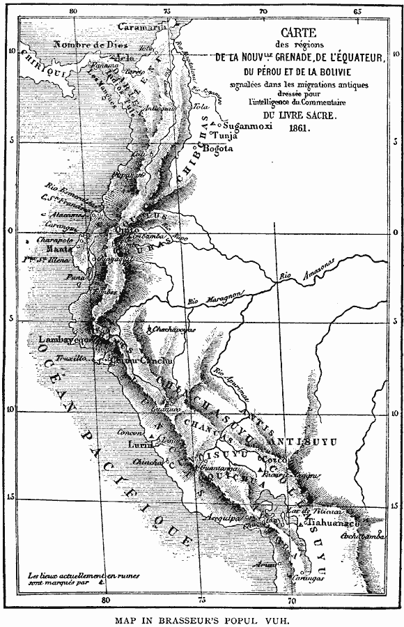
Description: A map of northwestern South America from the French scientific explorations of the area in 1861. The map shows the Pacific coastal region of New Granada (Columbia), Ecuador, Peru, and the northern portion of Bolivia near Lake Titicaca. The cities of Bogota, Quito, Lurin (Lima), Cozco (Cuzco), and Cochabamba are shown, as well as several archeological sites. The map shows the territories of the major native groups in the region.
Place Names: A Regional Map of South America, Ecuador, �Peru, �Pacific Ocean, �Amazon Rive
ISO Topic Categories: location,
oceans,
inlandWaters
Keywords: Northwestern South America, physical, physical features, location,
oceans,
inlandWaters, Unknown, 1861
Source: Justin Winsor, Narrative and Critical History of America Vol 1 (New York, NY: Houghton, Mifflin, and Company, 1889) 210
Map Credit: Courtesy the private collection of Roy Winkelman |
|