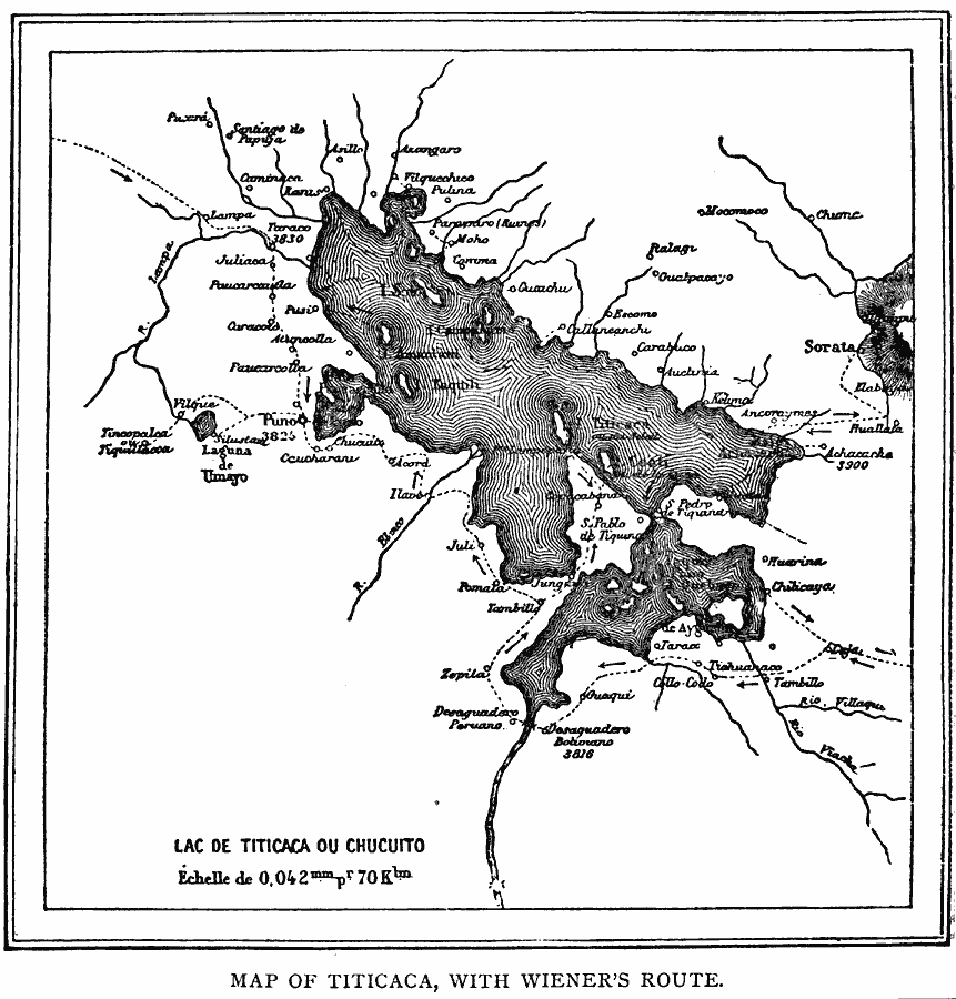
Description: A map of Lake Titicaca from 1889 during the French scientific explorations, showing Charles Weiner's route in the region from 1875 to 1877. This map shows rivers draining into the lake, nearby villages, and archeological sites of the area.
Place Names: A Regional Map of South America, Bolivia, �Peru, �Lake Titicaca, �Andes Mountain
ISO Topic Categories: location,
inlandWaters
Keywords: Lake Titicaca, physical, physical features, location,
inlandWaters, Unknown, 1889
Source: Justin Winsor, Narrative and Critical History of America Vol 1 (New York, NY: Houghton, Mifflin, and Company, 1889) 248
Map Credit: Courtesy the private collection of Roy Winkelman |
|