|
|
|
| Maps > South America > Regional Maps |
A collection of regional political and physical maps of South America.
|
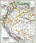
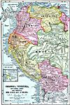
Venezuela, Colombia, Ecuador and Peru,
1911 |
|
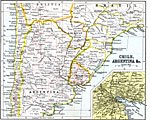
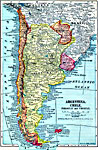
Chile and Argentina,
1911 |
|
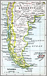
Patagonia,
1911 |
|
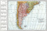
Southern South America,
1914 |
|
Colombia, Venezuela, Ecuador, Peru, and Bolivia with Western Part of Brazil,
1914–1919 |
|
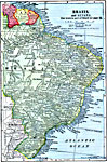
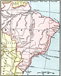
Brazil and Guiana,
1914–1919 |
|
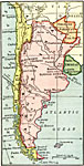
Argentina, Chile, Paraguay, and Uruguay,
1914–1919 |
|
Argentina, Chile, Paraguay, and Uruguay,
1915 |
|
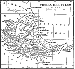
Tierra del Fuego,
1915 |
|
Venezuela and the Guianas,
1915 |
| First | Previous | Next | Last |
| Maps > South America > Regional Maps |
Maps ETC is a part of the Educational Technology Clearinghouse
Produced by the Florida Center for Instructional Technology © 2009
College of Education, University of South Florida