|
|
|
| Maps > South America > Regional Maps |
A collection of regional political and physical maps of South America.
|
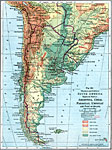
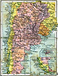
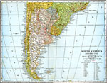
Physical and Political Map of Southern South America,
1916 |
|
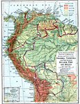
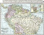
Northwestern South America,
1916 |
|
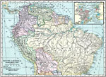
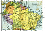
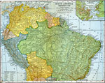
Northern South America,
1920 |
|
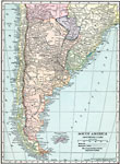
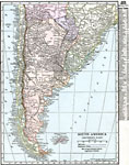
Southern South America,
1920 |
|
Northern South America,
1920 |
|
Southern South America,
1920 |
|
Northern Part of South America,
1920 |
|
South America (Southern Part),
1920 |
|
Southern South America,
1920 |
|
Northern South America,
1920 |
| First | Previous | Next | Last |
| Maps > South America > Regional Maps |
Maps ETC is a part of the Educational Technology Clearinghouse
Produced by the Florida Center for Instructional Technology © 2009
College of Education, University of South Florida