mapsMaps ETC Site map
 Maps ETC > United States > Puerto Rico > Islands West of Porto Rico, 1920
Site Map 

Islands West of Porto Rico, 1920

Islands West of Porto Rico


Title: Islands West of Porto Rico
Projection: Unknown,
Source Bounding Coordinates:
W: -68 E: -67 N: 19 S: 18

Main Map Page
Zoomify Version
B/W PDF Version
Color PDF Version
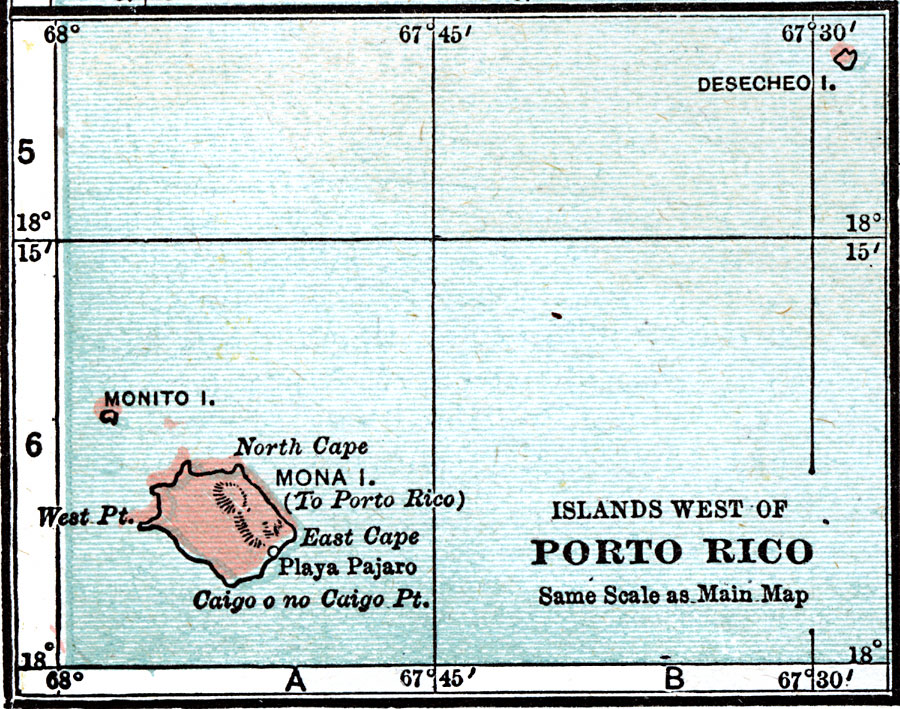
Description: A map from 1920 of the islands east of Porto Rico, including Mona, Monito, and Desecheo.
Place Names: Puerto Rico,
ISO Topic Categories: location, oceans
Keywords: Islands West of Porto Rico, physical, physical features, topographical, location, oceans, Unknown, 1920
Source: , Leslie's New World Atlas (New York City, NY: Leslie-Judge Company, 1920) 36
Map Credit: Courtesy the private collection of Roy Winkelman
SearchLicensePDF HelpGIS Help Google Earth Help Zoomify Help

 Maps ETC > United States > Puerto Rico > Islands West of Porto Rico, 1920
Site Map