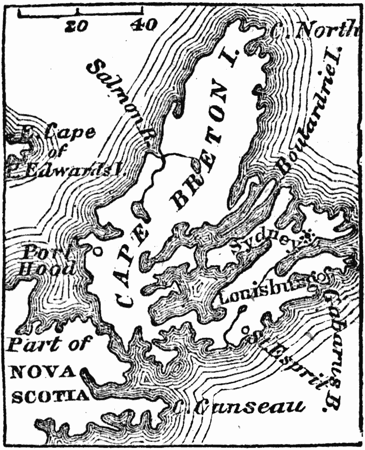
Description: A map of Cape Breton (French Isle Royal) in 1745 during King George's War. The map shows the French fortified settlement of Louisburg and the area of the campaign of the British under Pepperell, Wolcott, and Commodore Warren during the siege and capture of Louisburg. The map shows Cape Canseau, Gabarus Bay, and the neighboring settlements of Port Hood, St. Esprit, and Sydney.
Place Names: Canada, Louisburg, Cape Canseau, St. Esprit, Sydney
ISO Topic Categories: location,
oceans
Keywords: Cape Breton, physical, physical features, location,
oceans, Unknown, 1745
Source: Marcius Willson, History of the United States (New York, NY: Ivison, Blakeman, Taylor, and Co., 1872) 98
Map Credit: Courtesy the private collection of Roy Winkelman |
|