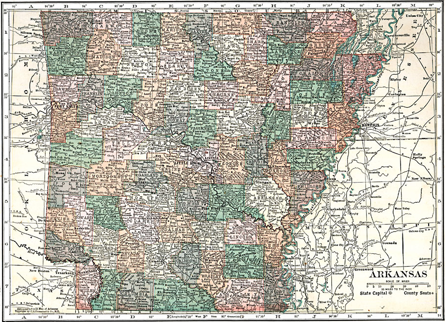
Description: A map of Arkansas from 1920 showing the State capital of Little Rock, counties and county seats, major cities and towns, railroads, mountains, and rivers.
Place Names: Arkansas, Siloam Springs, �Fayetteville, �Rogers, �Eurkea Springs, �Paragould, �Blytheville, �Jonesboro, �Batesville, �Fort Smith, �Van Buren, �Huntington, �Hartford, �Russellville, �Atkins, �Morrillton, �Conway, �Searey, �Newport, �Marked Tree, �Memphis, �Wynne,�Hot Springs, �Pine Bluff, �Little Rock, �Benton, �Clinton, �Helena, �Texarkana
ISO Topic Categories: boundaries,
inlandWaters,
location,
transportation
Keywords: Arkansas, physical, �political, �transportation, physical features, major political subdivisions,
county borders, roads,
railroads, boundaries,
inlandWaters,
location,
transportation, Unknown, 1920
Source: , Leslie's New World Atlas (New York City, NY: Leslie-Judge Company, 1920) 75
Map Credit: Courtesy the private collection of Roy Winkelman |
|