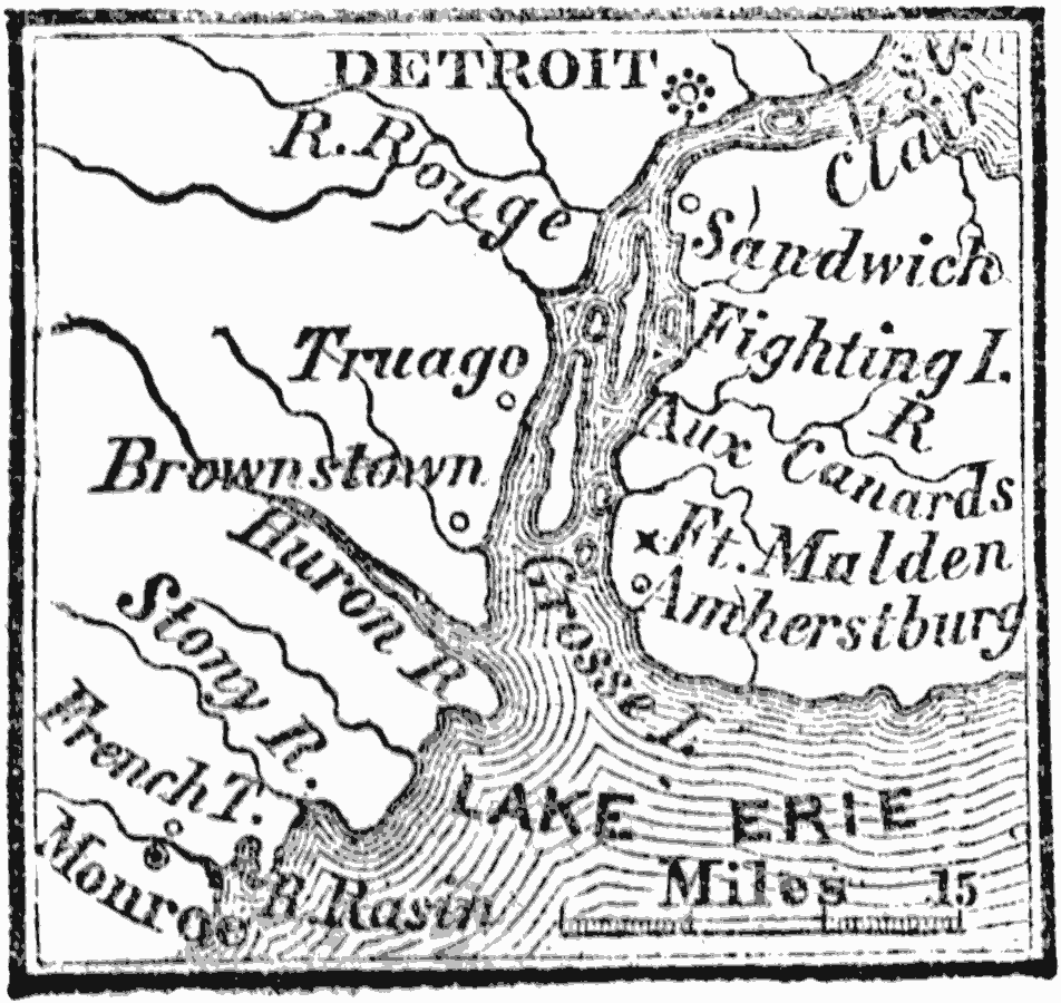
Description: A map of the vicinity of Detroit around the time of the War of 1812, showing Fort Malden, Brownstown, River Rasin, and Monroe.
Place Names: Michigan, Detroit, �Monro
ISO Topic Categories: inlandWaters,
location
Keywords: Vicinity of Detroit, physical, �historical, �War of 1812, physical features, other military, inlandWaters,
location, Unknown, 1812
Source: Marcius Willson, History of the United States (New York, NY: Ivison, Blakeman, Taylor, and Co., 1872) 304
Map Credit: Courtesy the private collection of Roy Winkelman |
|