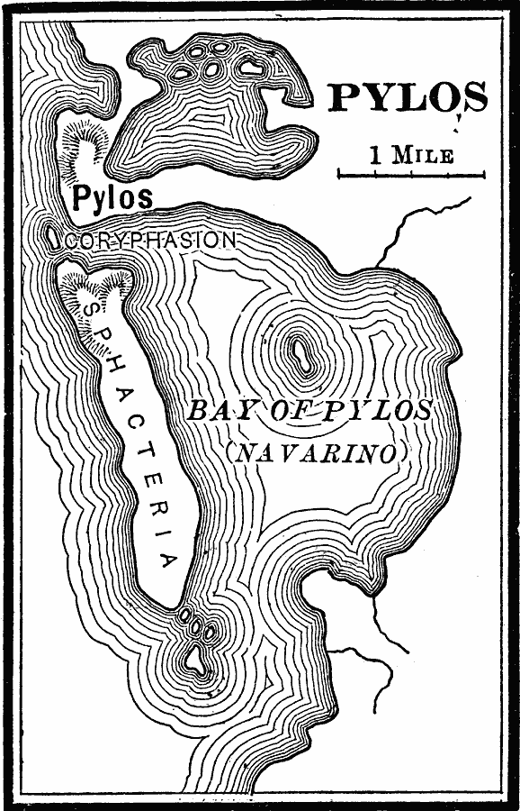
Description: A map of Pylos on the Bay of Navarino, Messenia, Greece, site of the great naval battle between Athenian and Spartan fleets during the Peloponnesian War.
Place Names: Greece, Pylo
ISO Topic Categories: inlandWaters,
location,
oceans
Keywords: Pylos, physical, kAncientGreece, kBattle, physical features, inlandWaters,
location,
oceans, Unknown, 425 BC
Source: Phillip Van Ness Myers, L.H.D., A History of Greece (Boston, MA: Ginn and Company, 1897) 310
Map Credit: Courtesy the private collection of Roy Winkelman |
|
