Maps Site map
  Maps > Europe > Greece
Site Map  

  Record   1   to   10  of   53

Historic and contemporary maps of Greece and Hellas, including political and physical maps, early empires, city plans, and battle plans.

Greek Colonies on the Coast of Asia Minor, 1000 BC
Map of Greek colonies in the year 1000 B. C., showing settlements of the Hellenes around the coasts and on the Isles of the Aegean Sea, including the island colonies of Cyzicus, Imbros, Sestus, Tenedos, Methymna, Mytilene, Eresus, Chios, Iearia, Samo...

Ancient Greece, 1500 B.C.
A map of Ancient Greece, circa 1500 BC, showing the territories of the Peloponnese peninsula and southern Balkan peninsula, including the southern portions of Macedonia and Epirus. The map shows important cities of the time, rivers, islands, coastal ...

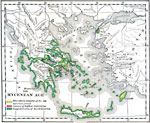
The Mycenean Age, 1550–1150 BC
A map of Greece and the Aegean during the Mycenaean Age (1550–1150 BC), showing the suggested areas of civilization, the centers of highest civilization, and sites where remains of the Mycenaean Age have been found....

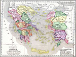
Reference Map of Greece, 1600–265 BC
A reference map of ancient Greece showing the Greek political territories of Peloponnese, the southern Balkan Peninsula, islands of the Ionian and Aegean seas, and coastal Asia Minor. A numeric reference key shows the location of the Cithaeron Mounta...

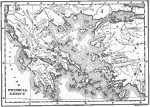
Physical Greece, 1600–265 BC
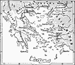
A physical map of Greece and the Aegean Sea, showing Greek territories in Asia Minor. This map shows the rivers, mountain terrain, coastal features, and islands of the region....

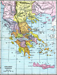
Ancient Greece, 1600–265 BC
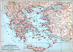
A map of ancient Greece, showing the territories of Messenia, Laconia, Elis, Arcadia, Argolis, Achaia, Boeotia, Attica, Acarnania, &Aelig;tolia, Locris, Doris, Phocis, Euboea, Epirus, Athamania, Thessalia, the southern portions of Illyria, Macedonia,...

Islands of the Aegean Sea with the coasts of Greece and Asia Minor, 1600–265 BC
A map of the islands of the Aegean Sea with the coasts of Greece and Asia Minor during the Bronze Age, showing the mainland and island territories and important cities of the time....

Ancient Greece, 1600–265 BCE
A map of ancient Greece....

Greece and the Aegean Sea, 1876
A map of Greece and the Aegean Sea in 1876, showing Peloponnesus, Epirus, Illyria, Thessaly, Macedonia, Thrace, and the major islands of Lesbos, Khios, Paros, Delos, Naxos, Kythera, Melos, Rhodes, and Crete....

Greece, 1906
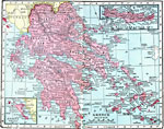
A map of Greece in 1906, showing its frontier with Turkey following the Greco–Turkish War (1897) at the north of the peninsula along the Kratzova–Khassia Mountains (Thessaly), the Greek administrative divisions, major cities, towns, and p...

Next Last


  Maps > Europe > Greece
Site Map  

Maps ETC is a part of the Educational Technology Clearinghouse
Produced by the Florida Center for Instructional Technology © 2009
College of Education, University of South Florida