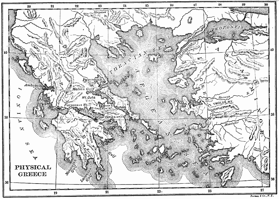
Description: A physical map of Greece and the Aegean Sea, showing Greek territories in Asia Minor. This map shows the rivers, mountain terrain, coastal features, and islands of the region.
Place Names: Greece,
ISO Topic Categories: inlandWaters,
location,
oceans
Keywords: Physical Greece, physical, physical features, inlandWaters,
location,
oceans, Unknown, 1600–265 BC
Source: George Willis Botsford, Ph. D., A History of Greece (London, : The Macmillan Company, 1912) 2
Map Credit: Courtesy the private collection of Roy Winkelman |
|