mapsMaps ETC Site map
 Maps ETC > Europe > Greece > Islands of the Aegean Sea with the coasts of Greece and Asia Minor, 1600–265 BC
Site Map 

Islands of the Aegean Sea with the coasts of Greece and Asia Minor, 1600–265 BC

Islands of the Aegean Sea with the coasts of Greece and Asia Minor


Title: Islands of the Aegean Sea with the coasts of Greece and Asia Minor
Projection: Unknown,
Source Bounding Coordinates:
W: 23 E: 28 N: 41 S: 33

Main Map Page
Zoomify Version
B/W PDF Version
Color PDF Version
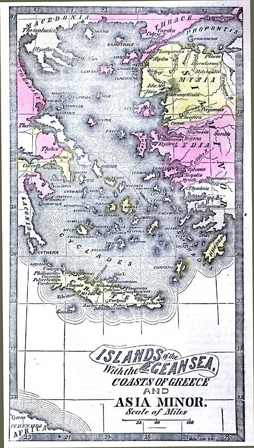
Description: A map of the islands of the Aegean Sea with the coasts of Greece and Asia Minor during the Bronze Age, showing the mainland and island territories and important cities of the time.
Place Names: Greece, Byzantium, Crete, Laconia, Lydia, Mycea,
ISO Topic Categories: inlandWaters, location, oceans
Keywords: Islands of the Aegean Sea with the coasts of Greece and Asia Minor, historical, kAncientGreece, country borders, inlandWaters, location, oceans, Unknown, 1600–265 BC
Source: Marcius Willson, Willson's Outlines of History (New York, NY: Ivison & Phinney, 1859) 569
Map Credit: Courtesy the private collection of Roy Winkelman
SearchLicensePDF HelpGIS Help Google Earth Help Zoomify Help

 Maps ETC > Europe > Greece > Islands of the Aegean Sea with the coasts of Greece and Asia Minor, 1600–265 BC
Site Map