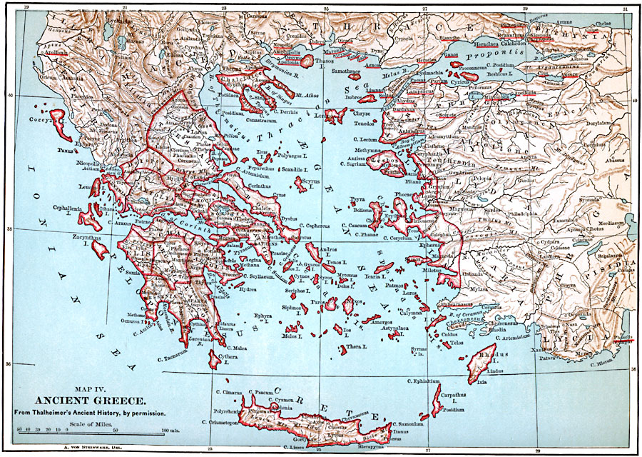
Description: A map of ancient Greece.
Place Names: Greece, Athens, �Chalkis, �Elefsis, �Kerkyra, �Patrai, �Thebe
ISO Topic Categories: boundaries,
oceans,
location,
inlandWaters
Keywords: Ancient Greece, physical, �political, geological,
physical features, country borders, boundaries,
oceans,
location,
inlandWaters, Unknown, 1600–265 BCE
Source: John Clark Ridpath, Cyclopedia of Universal History (Cincinnati, OH: The Jones Brothers Publishing Co., 1885) 370
Map Credit: Courtesy the private collection of Roy Winkelman |
|