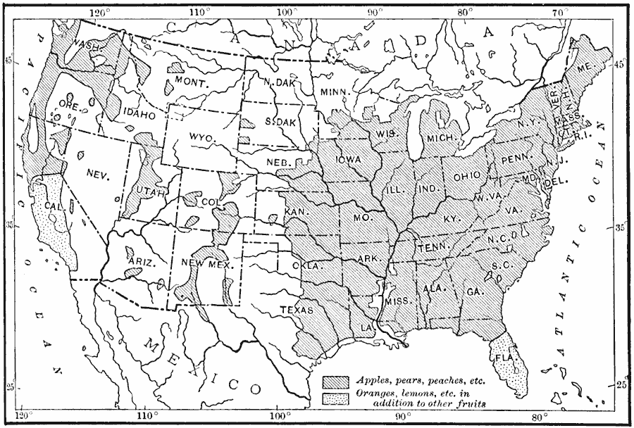
Description: A map from 1910 of the United States showing the leading fruit–growing regions at the time. The map is keyed to show areas of growing apples, peaches, pears, and others, and areas of citrus growing (oranges, lemons, and others).
Place Names: Agriculture, frui
ISO Topic Categories: oceans,
location,
inlandWaters,
farming,
boundaries
Keywords: Fruit-Growing Regions in the United States, physical, �political, �statistical, kAgriculture, physical features, country borders,
major political subdivisions, agriculture, oceans,
location,
inlandWaters,
farming,
boundaries, Unknown, 1910
Source: Ralph S. Tarr, B.S., F.G.S.A. and Frank M. McMurry, Ph.D., New Geographies 2nd ed (New York, NY: The Macmillan Company, 1910) 185
Map Credit: Courtesy the private collection of Roy Winkelman |
|