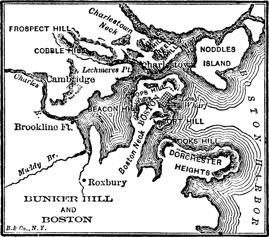
Description: A map of the Boston Harbor area showing important sites of the opening conflicts of the American Revolution, including the cities of Boston, Charlestown, and Cambridge, Brookline Fort, Fort Hill, and the sites of Bunker Hill, Breeds Hill, Dorchester Heights, Charlestown Neck, Copp's Hill, Lechmere's Point, and Boston Neck.
Place Names: Massachusetts, Boston, �Bunker Hil
ISO Topic Categories: location,
oceans,
inlandWaters
Keywords: Bunker Hill and Boston, American Revolution, �historical, �political, ��American Revolution,
historical event, location,
oceans,
inlandWaters, Unknown, 1911
Source: John Clark Ridpath , History of the United States from Aboriginal Times to Taft's Administration (vol. 2) (New York, NY: The Review of Reviews Company, 1911) 367
Map Credit: Courtesy the private collection of Roy Winkelman |
|