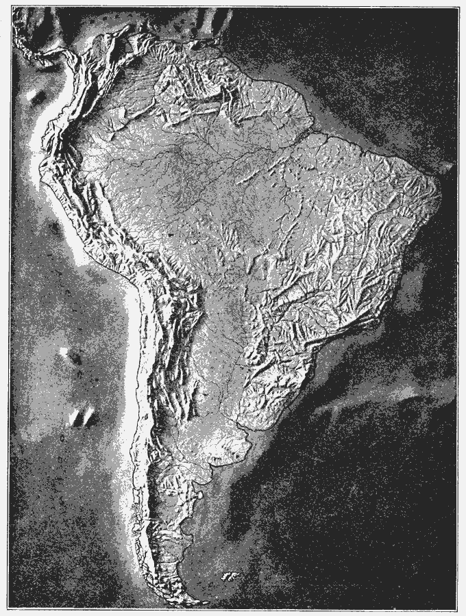
Description: A relief map from 1910 showing the terrain features of South America, including mountain systems, lowlands, river systems, and coastal features.
Place Names: A Complete Map of South America,
ISO Topic Categories: inlandWaters,
location,
oceans
Keywords: Relief Map of South America, physical, physical features, inlandWaters,
location,
oceans, Unknown, 1910
Source: Ralph S. Tarr, B.S., F.G.S.A. and Frank M. McMurry, Ph.D., New Geographies 2nd ed (New York, NY: The Macmillan Company, 1910) 237
Map Credit: Courtesy the private collection of Roy Winkelman |
|