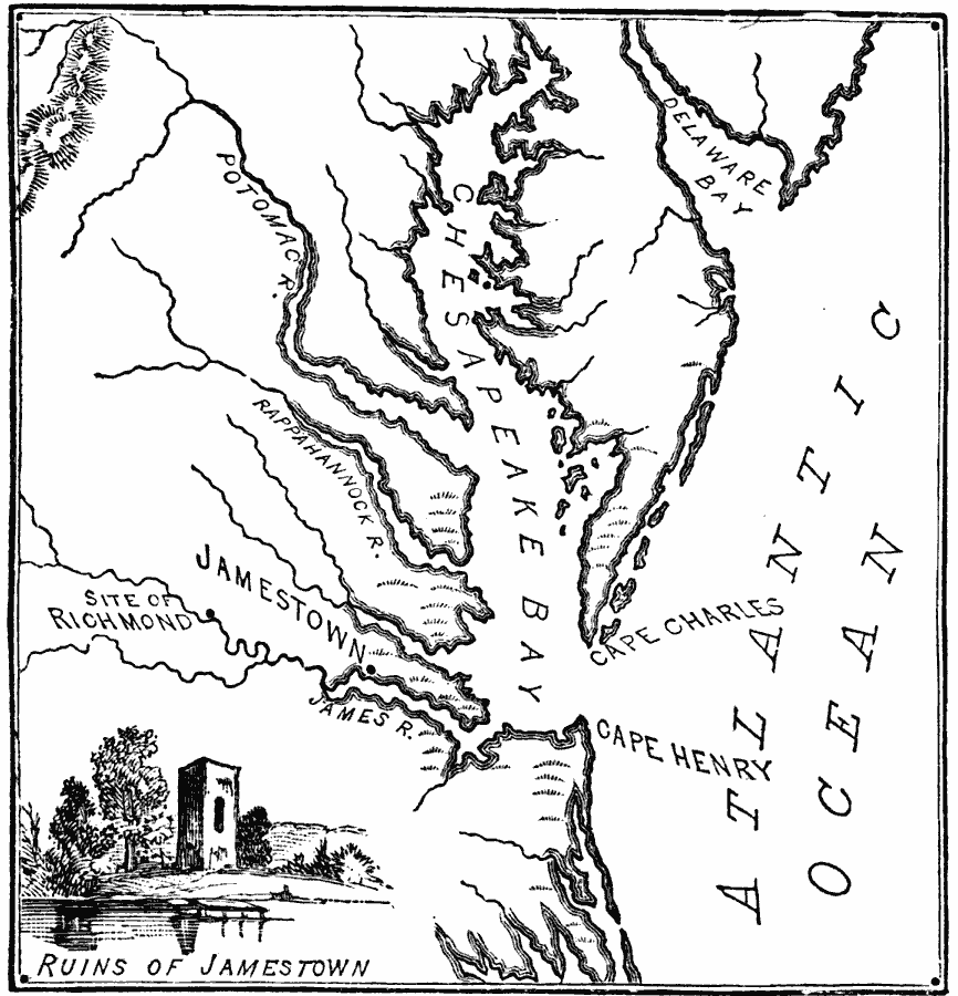
Description: A map of the Chesapeake Bay and James River area showing the early English settlements of Jamestown (1607) and Richmond (1609).
Place Names: Early America 1400-1800, Atlantic Ocean, �Cape Charles, �Cape Henry, �Chesapeake Bay, �Delaware Bay, �Jamestown, �Potomac River, �Virginia, �Colonial America, �Englis
ISO Topic Categories: oceans,
location,
inlandWaters
Keywords: Jamestown and Vicinity, water route, �transportation, water routes, oceans,
location,
inlandWaters, Unknown, 1607–1609
Source: William Swinton, First Lessons in Our Countries History (New York, NY: American Book Company, 1894) 42
Map Credit: Courtesy the private collection of Roy Winkelman |
|