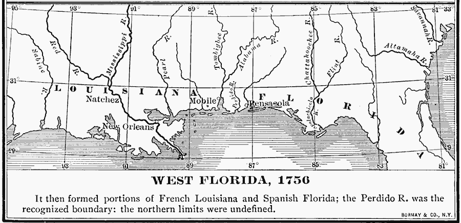
Description: A map of West Florida in 1756, which then formed portions of French Louisiana and Spanish Florida; the Perdido river was the recognized boundary between the two: the northern limits were undefined.
Place Names: Early America 1400-1800, New Orleans, �Mobile, �Pensacola, �West Florida, �French Louisiana, �Spanish, �Frenc
ISO Topic Categories: boundaries,
inlandWaters,
location,
oceans
Keywords: West Florida, physical, �political, physical features, country borders,
major political subdivisions, boundaries,
inlandWaters,
location,
oceans, Unknown, 1756
Source: Albert Bushnell Hart, LL.D., The American Nation Vol 12 (New York, NY: Harper and Brothers, 1906) 142
Map Credit: Courtesy the private collection of Roy Winkelman |
|