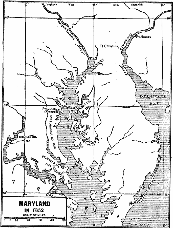
Description: A map of the Chesapeake Bay and Delaware Bay region in 1652 showing the early European settlements of Providence (Annapolis), Fort Christina, and Fort Nassau, and the areas of the Kent Company, Anne Arundel Company, Charles Company, and St. Mary's Company.
Place Names: Early America 1400-1800, Annapolis, �Providence, �St. Mary'
ISO Topic Categories: inlandWaters,
location,
oceans
Keywords: Chesapeake and Delaware Bays, physical, �political, physical features, local jurisdictions, inlandWaters,
location,
oceans, Unknown, 1652
Source: Albert Bushnell Hart, LL.D., The American Nation Vol 4 (New York, NY: Harper and Brothers, 1906) 132
Map Credit: Courtesy the private collection of Roy Winkelman |
|