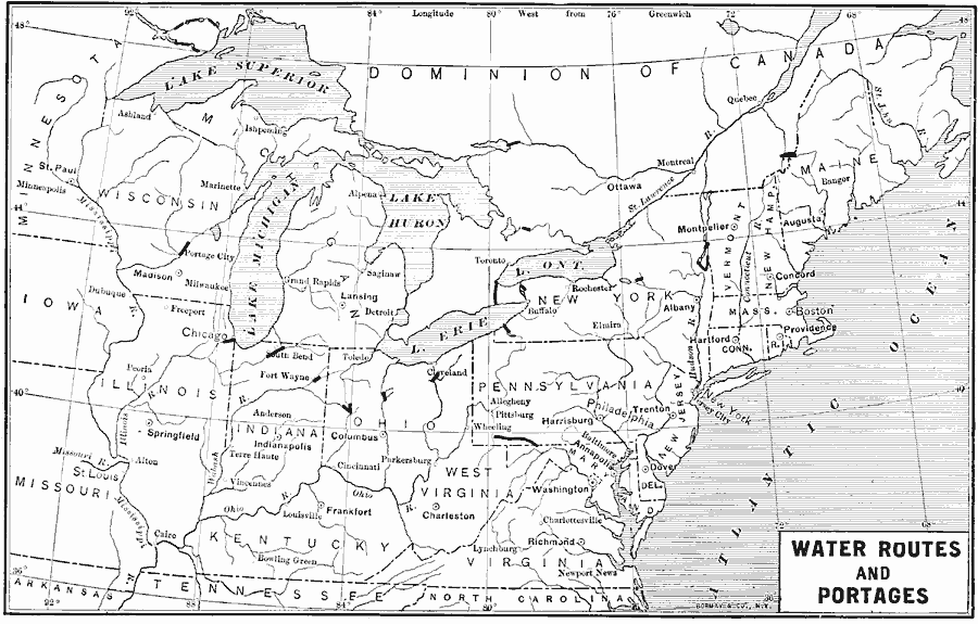
Description: Water routes and portages in the northeastern United States.
Place Names: Transportation, Boston, �Chicago, �New York, �Washington D.C., �water routes, �ports, �trade route
ISO Topic Categories: transportation,
inlandWaters,
location,
oceans,
boundaries
Keywords: Early Water Routes and Portages, transportation, kTransportation, water routes, transportation,
inlandWaters,
location,
oceans,
boundaries, Unknown, 1600–1800
Source: Albert Bushnell Hart, LL.D., The American Nation Vol 2 (New York, NY: Harper and Brothers, 1906) 24
Map Credit: Courtesy the private collection of Roy Winkelman |
|