|
|
|
| Maps > United States > Transportation |
A collection of historic and contemporary railroad, automobile, and steamship route maps for the United States for use in the K-12 classroom.
|
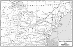
Early Water Routes and Portages,
1600–1800 |
|
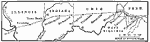
The Route of the Cumberland Road,
1806 |
|
The Route of the Erie Canal,
1815–1825 |
|
Navigable Rivers,
1820 |
|
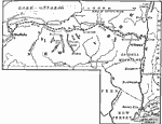
Western Indians Trading Posts and Routes of Travel,
1820–1835 |
|
Routes to the East from Western Agricultural Regions,
1825 |
|
Transportation During the Canal Era,
1825–1850 |
|
Highways and Waterways in the United States,
1826–1830 |
|
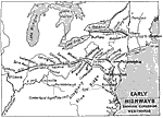
Early Highways,
1840 |
|
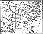
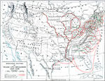
Principal Routes of Trade and Migration,
1840–1850 |
| Next | Last |
| Maps > United States > Transportation |
Maps ETC is a part of the Educational Technology Clearinghouse
Produced by the Florida Center for Instructional Technology © 2009
College of Education, University of South Florida