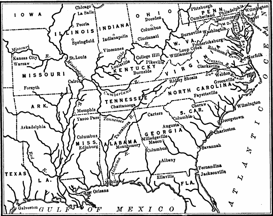
Description: Navigable rivers in the United States in about 1820.
Place Names: Transportation, Alabama, �Arkansas, �Delaware, �Florida, �Georgia, �Illinois, �Indiana, �Iowa, �Kentucky, �Louisiana, �Maryland, �Mississippi, �Missouri, �Ohio, �Pennsylvania, �Tennessee, �United States, �Virginia, �West Virginia, �water routes, �navigable river
ISO Topic Categories: oceans,
location,
inlandWaters,
boundaries
Keywords: Navigable Rivers, borders, �historical, �physical, �transportation, �water routes, kTransportation, physical features, water routes, historical event, oceans,
location,
inlandWaters,
boundaries, Unknown, 1820
Source: S.E. Forman, Advanced American History (New York, NY: The Century Company, 1919) 332
Map Credit: Courtesy the private collection of Roy Winkelman |
|