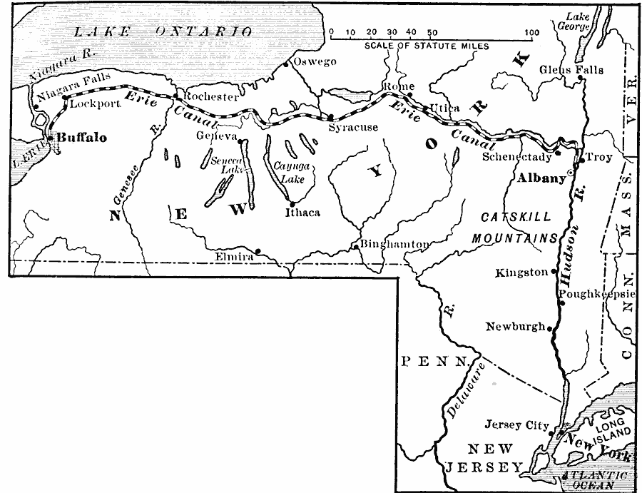
Description: The route of the Erie Canal, showing the line of transportation from Lake Erie to New York City
Place Names: Transportation, Albany, �Buffalo, �Lake Erie, �New Jersey, �New York, �Schenectady, �Syracuse, �Troy, �Water Routes, �Cana
ISO Topic Categories: oceans,
location,
inlandWaters
Keywords: The Route of the Erie Canal, statistical, �transportation, kTransportation, agriculture,
industry,
economic, water routes, oceans,
location,
inlandWaters, Unknown, 1815–1825
Source: Jacques W. Redway, F.R.G.S., The Redway School History (New York, NY: Silver, Burdett and Company, 1911) 241
Map Credit: Courtesy the private collection of Roy Winkelman |
|