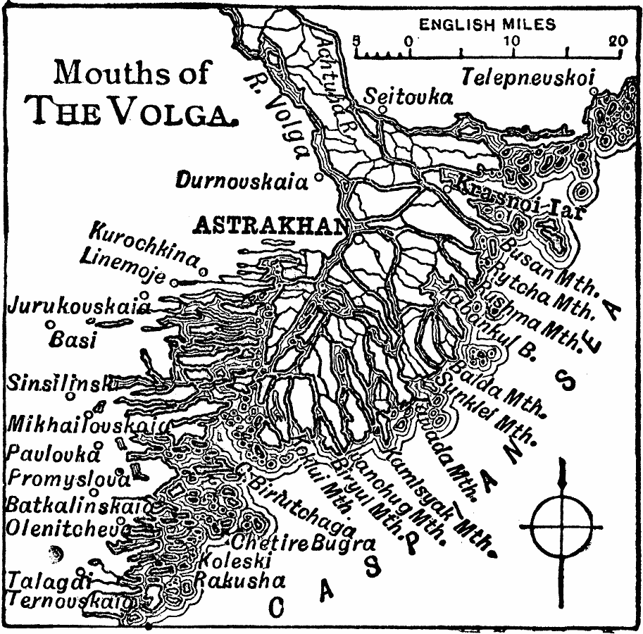
Description: A map from 1919 of the Volga River delta on the Caspian Sea, showing the major distributaries, including the Achtuba River, the city of Astrakhan and neighboring towns, and the mouths of the delta network into the Caspian Sea, including the Busan, Rutcha, Rushma, Balda, Sunklef, Tawada, Kamlsyak, Ivanchung, Biryul, and Koklui.
Place Names: Russia, Astrakha
ISO Topic Categories: inlandWaters,
oceans,
location
Keywords: Mouths of the Volga, physical, physical features, inlandWaters,
oceans,
location, Unknown, 1919
Source: Charles Morris, Winston's Cumulative Encyclopedia Vol. 10 (Philadelphia, PA: The John C. Winston Company, 1919) tab 17
Map Credit: Courtesy the private collection of Roy Winkelman |
|