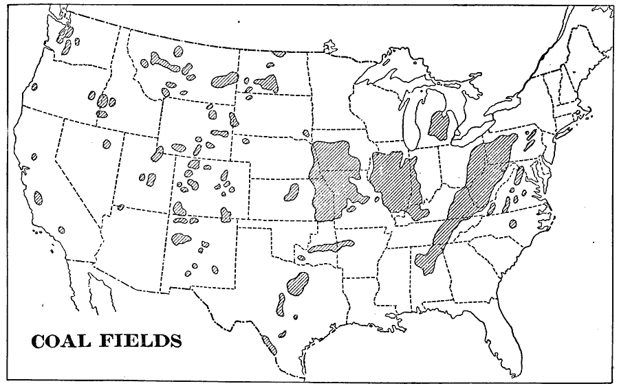
Description: A map from 1901 of the United States showing the coal fields and coal bearing districts in the United States.
Place Names: Minerals, coa
ISO Topic Categories: boundaries,
inlandWaters,
oceans
Keywords: United States Coal Fields, physical, �political, �statistical, kResources, physical features, major political subdivisions,
country borders, industry, boundaries,
inlandWaters,
oceans, Unknown, 1901
Source: Jacques W. Redway, Natural Advanced Geography (New York, NY: American Book Company, 1901) 59
Map Credit: Courtesy the private collection of Roy Winkelman |
|