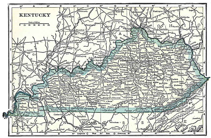
Description: A map from 1919 of Kentucky showing the State capital of Frankfort, major cities and towns, railroads, and rivers.
Place Names: Kentucky, Frankfort, �Lexington, �Burkesville, �Danville, �Grayson, �Louisa, �Louisville, �Madisonville, �Shelbyville, �Versaille
ISO Topic Categories: boundaries,
inlandWaters,
location,
oceans
Keywords: Kentucky, physical, �political, �transportation, physical features, major political subdivisions, railroads, boundaries,
inlandWaters,
location,
oceans, Unknown, 1919
Source: Charles Morris, Winston's Cumulative Encyclopedia Vol 6 (Philadelphia, PA: The John C. Winston Company, 1919) tab 2
Map Credit: Courtesy the private collection of Roy Winkelman |
|