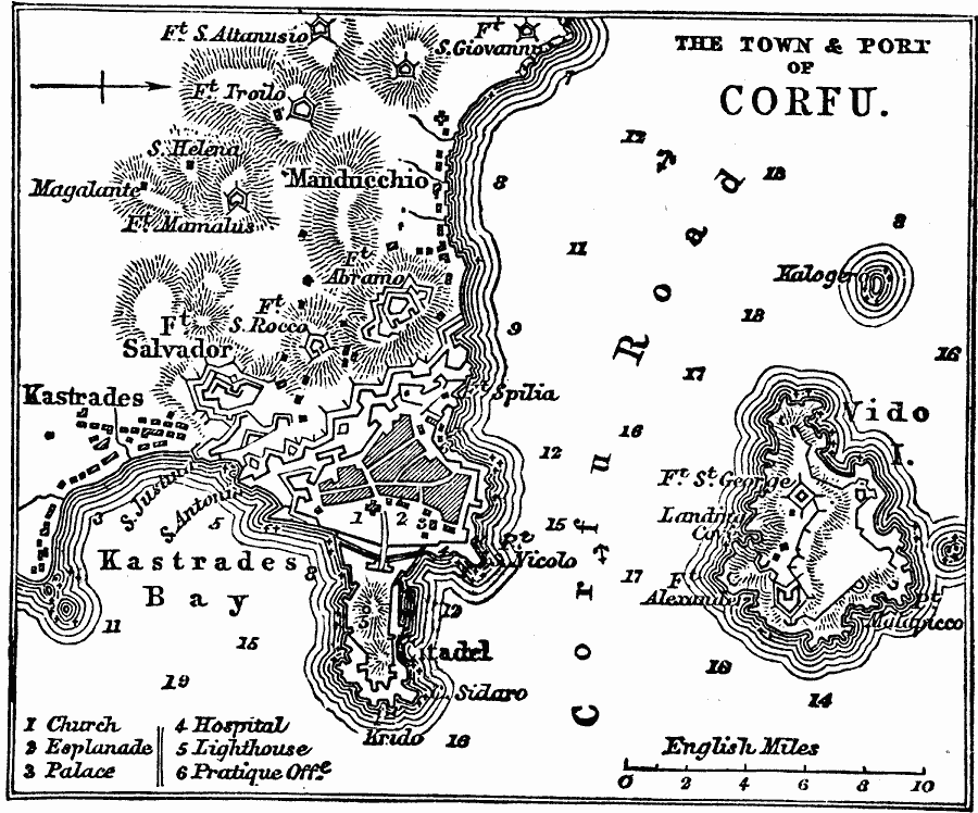
Description: A map of the town and port of Corfu, an island of western Greece, in 1919. This map shows terrain and coastal features such as Kastrades Bay, Vido Island, water depths, and anchorage locations, as well as forts and fortifications in the area, the church, hospital, and palace of Corfu.
Place Names: Greece, Corf
ISO Topic Categories: structure,
location,
oceans
Keywords: Corfu, physical, �political, physical features, local jurisdictions, structure,
location,
oceans, Unknown, 1919
Source: Charles Morris, Winston's Cumulative Encyclopedia Vol 3 (Philadelphia, PA: The John C. Winston Company, 1919) tab 5
Map Credit: Courtesy the private collection of Roy Winkelman |
|