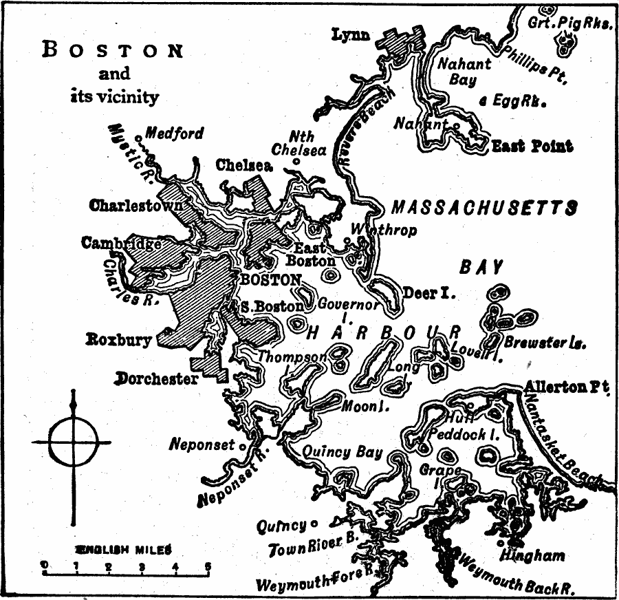
Description: A map from 1919 of the vicinity of Boston showing neighboring cities, Boston Harbor, and western Massachusetts Bay from Greater Pig Rocks to Nantasket Beach.
Place Names: Massachusetts, Boston, �Cambridge, �Dorchester, �Chelsea, �Roxbur
ISO Topic Categories: inlandWaters,
location,
oceans
Keywords: Boston and Vicinity, physical, �political, physical features, local jurisdictions, inlandWaters,
location,
oceans, Unknown, 1919
Source: Charles Morris, Winston's Cumulative Encyclopedia Vol 2 (Philadelphia, PA: The John C. Winston Company, 1919) tab 2
Map Credit: Courtesy the private collection of Roy Winkelman |
|