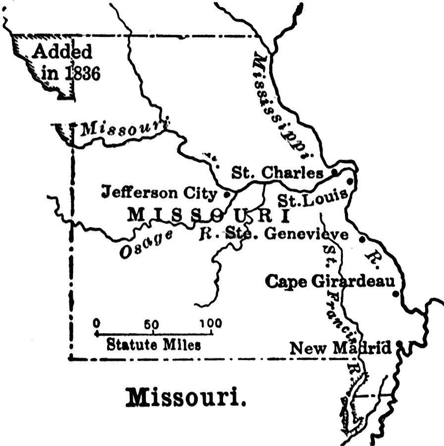
Description: A sketch map of Missouri showing the early migration centers between 1800 and statehood under the Missouri Compromise of 1821. The map shows the northwest portion added in 1836.
Place Names: Missouri, Cape Girardeau, �Jefferson City, �Missouri, �New Madrid, �St. Loui
ISO Topic Categories: oceans,
location,
inlandWaters,
boundaries,
structure
Keywords: Missouri, borders, �historical, �physical, ��physical features, historical event, oceans,
location,
inlandWaters,
boundaries,
structure, Unknown, 1800–1820
Source: S.E. Forman, Advanced American History (New York, NY: The Century Company, 1919) 290
Map Credit: Courtesy the private collection of Roy Winkelman |
|