Maps Site map
  Maps > United States > Missouri
Site Map  

  Record   1   to   10  of   21

A collection of historic and contemporary political and physical maps of Missouri for use in the K-12 classroom.
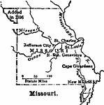
Missouri, 1800–1820
A sketch map of Missouri showing the early migration centers between 1800 and statehood under the Missouri Compromise of 1821. The map shows the northwest portion added in 1836....

New Madrid, 1862
A map of the vicinity of New Madrid and Island Number 2 along the Mississippi River in 1862 during the American Civil War. The map shows Union and Confederate positions, gun boats, batteries, redoubts, and forts, with map notes of terrain and waterwa...

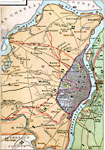
St. Louis Vicinity, 1883
A map from 1883 of the vicinity of St. Louis, showing the city limits at the time, neighboring cities and towns, roads, railroads, and rivers in the area....

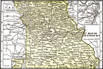
Missouri, 1891
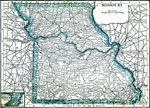
A map from 1891 of Missouri showing the capital of Jefferson City, major cities and towns, railroads, and rivers....

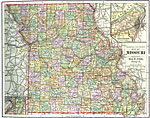
Missouri, 1892
A map from 1892 of Missouri showing the capital of Jefferson City, counties and county seats, major cities and towns, railroads, and rivers. An inset map details St. Louis....

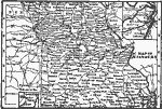
Missouri, 1902
A map from 1902 of Missouri showing the capital of Jefferson City, major cities and towns, railroads, and rivers. An inset map details St. Louis....

Missouri, 1904
A map from 1904 of Missouri showing the capital of Jefferson City, major cities and towns, railroads, and rivers. An inset map details St. Louis. "Missouri — Organized as a Territory in 1812; admitted to the statehood in 1821. Its lead min...

Missouri, 1906
A map from 1906 of Missouri showing the capital of Jefferson City, major cities and towns, railroads, and rivers....

Missouri, 1909
A map from 1909 of Missouri showing the capital of Jefferson City, major cities and towns, railroads, and rivers....

St. Louis, 1911
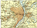
A map from 1911 of the vicinity of St. Louis, Missouri, showing major streets and roads, railroads and stations, neighboring cities and towns, parks, and major landmarks. The map shows St. Louis, Missouri, separated by the Mississippi river from East...

Next Last


  Maps > United States > Missouri
Site Map  

Maps ETC is a part of the Educational Technology Clearinghouse
Produced by the Florida Center for Instructional Technology © 2009
College of Education, University of South Florida