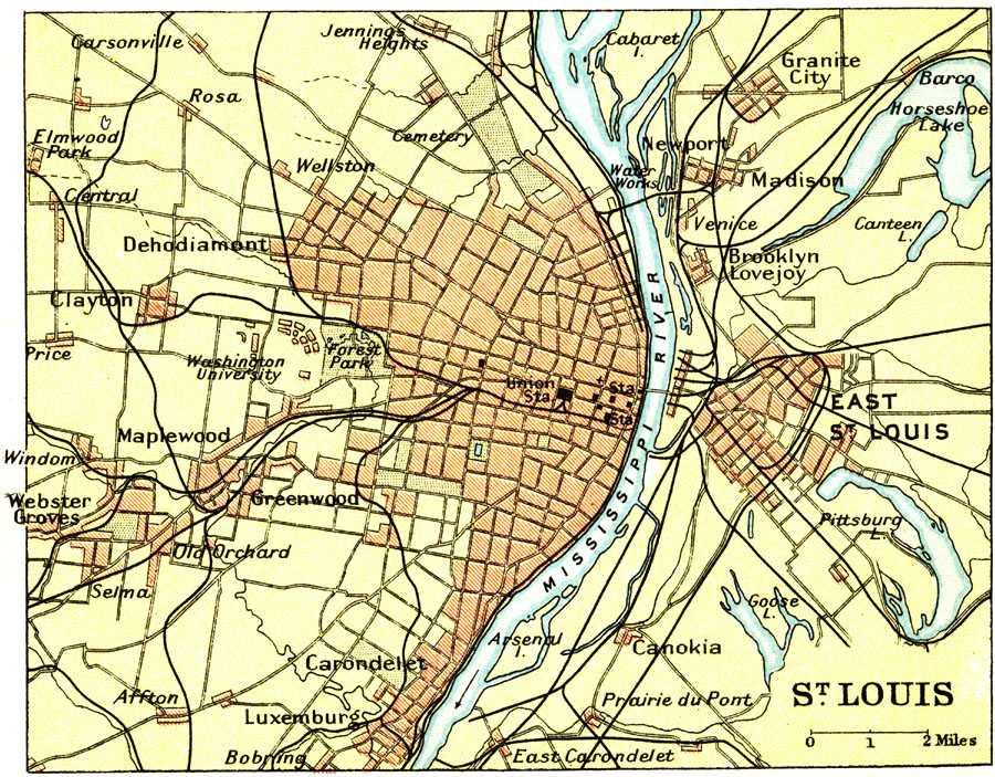
Description: A map from 1911 of the vicinity of St. Louis, Missouri, showing major streets and roads, railroads and stations, neighboring cities and towns, parks, and major landmarks. The map shows St. Louis, Missouri, separated by the Mississippi river from East St. Louis, Illinois.
Place Names: Missouri, St. Louis, �East St. Loui
ISO Topic Categories: society
Keywords: St. Louis, transportation, roads,
railroads, society, Unknown, 1911
Source: Ernest Rhys, Ed., A Literary and Historical Atlas of North & South America (New York, NY: E.P. Dutton & CO., 1911) 62
Map Credit: Courtesy the private collection of Roy Winkelman |
|
