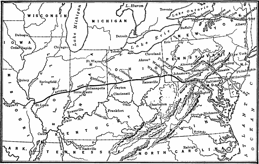
Description: Transportation between the east and west during the Canal Era (1825—1850).
Place Names: Transportation, Arkansas, �Delaware, �Illinois, �Indiana, �Iowa, �Kentucky, �Maryland, �Michigan, �Missouri, �New Jersey, �New York, �Ohio, �Pennsylvania, �Tennessee, �United States, �Virginia, �Wisconsin, �canals, �canal er
ISO Topic Categories: oceans,
location,
inlandWaters,
boundaries,
transportation
Keywords: Transportation During the Canal Era, borders, �historical, �physical, �railroads, �transportation, physical features, railroads, historical event, oceans,
location,
inlandWaters,
boundaries,
transportation, Unknown, 1825–1850
Source: S.E. Forman, Advanced American History (New York, NY: The Century Company, 1919) 327
Map Credit: Courtesy the private collection of Roy Winkelman |
|