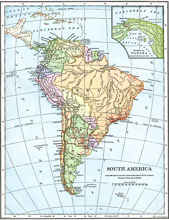
Description: A map of South America from 1901 showing the political boundaries of the time. The map shows capitals, major cities, ports, railroads, rivers, and coastal features. An inset map shows the Isthmus of Panama with the railroad from the Caribbean Sea to the Pacific Ocean.
Place Names: A Complete Map of South America, Brazil, �British Guiana, �Dutch Guiana, �French Guiana, �Venezuela, �Colombia, �Panama, �Ecuador, �Peru, �Chile, �Argentina, �Paraguay, �Uruguay, �Bolivi
ISO Topic Categories: boundaries,
inlandWaters,
location,
oceans,
transportation
Keywords: South America, physical, �political, �transportation, physical features, country borders, railroads, boundaries,
inlandWaters,
location,
oceans,
transportation, Unknown, 1901
Source: Jacques W. Redway, Natural Advanced Geography (New York, New York: American Book Company, 1901) 106
Map Credit: Courtesy the private collection of Roy Winkelman |
|