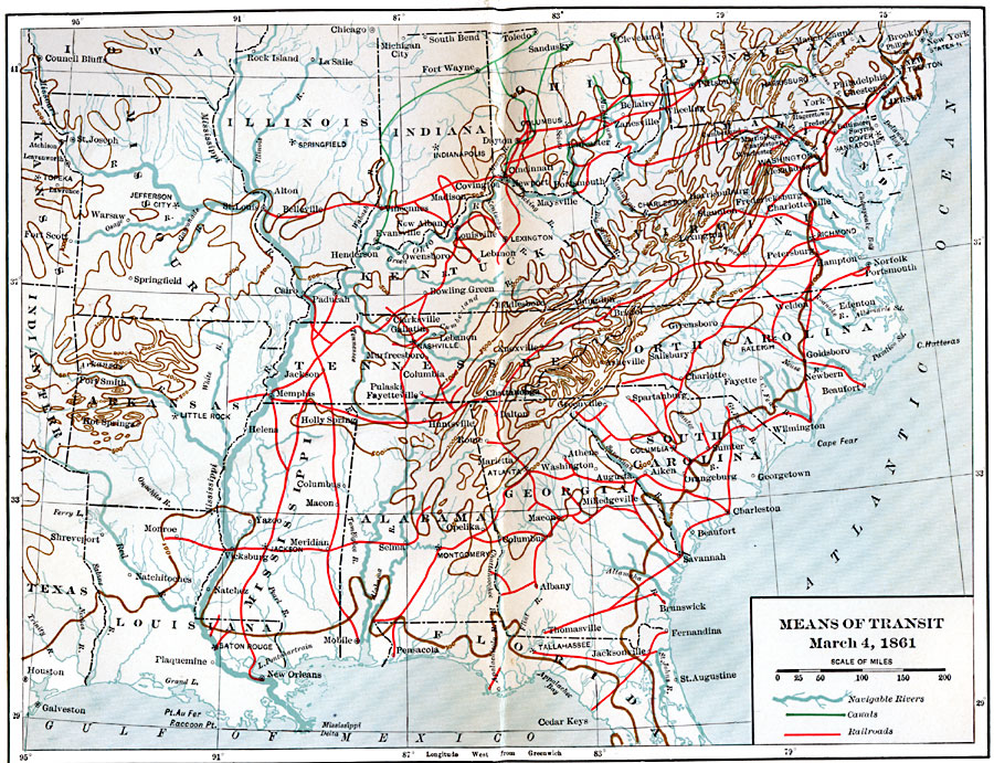
Description: Means of transit in the eastern United States in 1861.
Place Names: Transportation, New York, �New Orleans, �Washington D.C
ISO Topic Categories: oceans,
location,
inlandWaters,
transportation,
boundaries
Keywords: Means of Transit, transportation, �physical, �political, kTransportation, physical features, major political subdivisions, railroads,
water routes, oceans,
location,
inlandWaters,
transportation,
boundaries, Unknown, March 4, 1861
Source: Albert Bushnell Hart, LL.D., The American Nation Vol. 20 (New York, NY: Harper and Brothers, 1907) 5
Map Credit: Courtesy the private collection of Roy Winkelman |
|