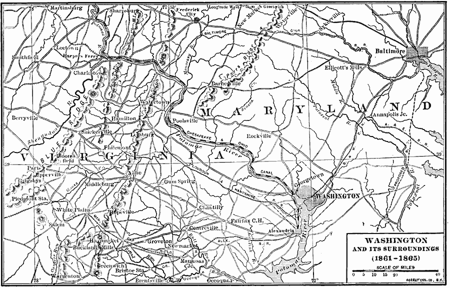
Description: A map showing Washington D.C. and the surroundings area during the American Civil War.
Place Names: Civil War, Washington D.C., �Baltimor
ISO Topic Categories: boundaries,
transportation,
location,
inlandWaters
Keywords: Washington and Surroundings, physical, �political, �transportation, physical features, major political subdivisions,
local jurisdictions, roads,
railroads, Civil War, boundaries,
transportation,
location,
inlandWaters, Unknown, 1861–1865
Source: Albert Bushnell Hart, LL.D., The American Nation Vol. 20 (New York, NY: Harper and Brothers, 1907) 56
Map Credit: Courtesy the private collection of Roy Winkelman |
|