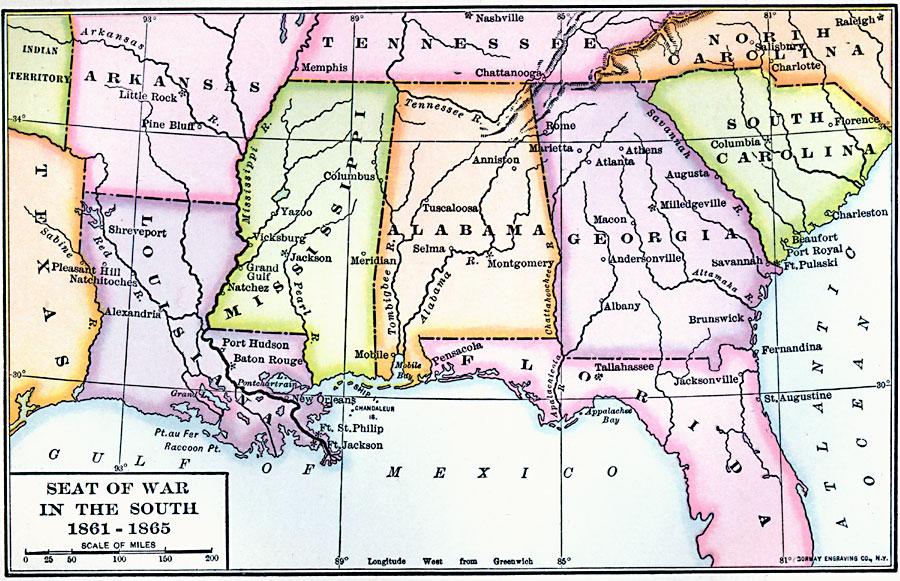
Description: A map of the Southern States showing the seat of the American Civil War in the South (1861–1865). The map shows the States of Louisiana, Mississippi, Alabama, Georgia, and South Carolina, with portions of Texas, Arkansas, Tennessee, North Carolina, and Florida. State capitals (Note Milledgeville, Georgia, State Capital until 1868), major cities, rivers, and coastline of the area.
Place Names: Civil War, New Orleans, �Tallahassee, �Jacksonville, �Charleston, �Atlant
ISO Topic Categories: location,
inlandWaters,
oceans,
intelligenceMilitary,
boundaries
Keywords: Seat of War in the South, physical, �political, �historical, physical features, major political subdivisions, Civil War, location,
inlandWaters,
oceans,
intelligenceMilitary,
boundaries, Unknown, 1861–1865
Source: Albert Bushnell Hart, LL.D., The American Nation Vol. 20 (New York, NY: Harper and Brothers, 1907) 114
Map Credit: Courtesy the private collection of Roy Winkelman |
|