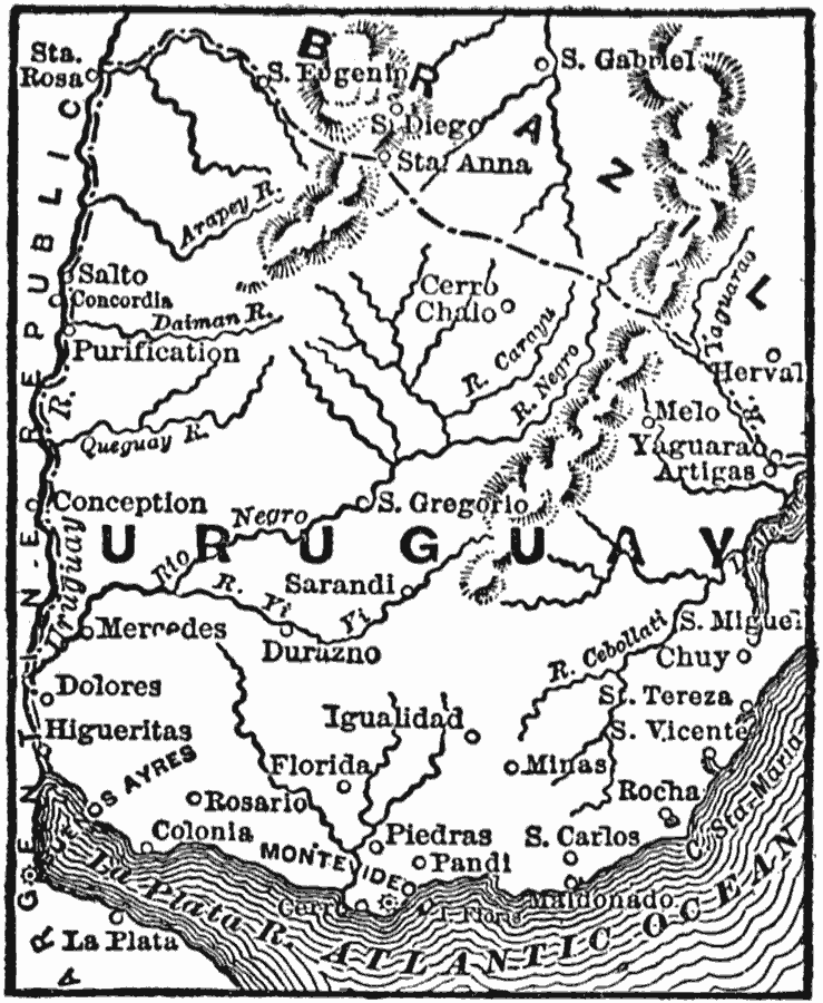
Description: A map from 1916 of Uruguay showing the political boundaries at the time, the capital city of Montevideo on the Atlantic coast and other major cities, rivers, terrain, and coastal features.
Place Names: Uruguay, Montevideo, �Salta, �Melo, �Mercede
ISO Topic Categories: boundaries,
oceans,
location,
inlandWaters
Keywords: Uruguay, physical, �political, physical features, country borders, boundaries,
oceans,
location,
inlandWaters, Unknown, 1916
Source: George J. Hagar, The Standard American Encyclopedia Vol 12 (New York, NY: The University Society Inc., 1916) tab 1
Map Credit: Courtesy the private collection of Roy Winkelman |
|