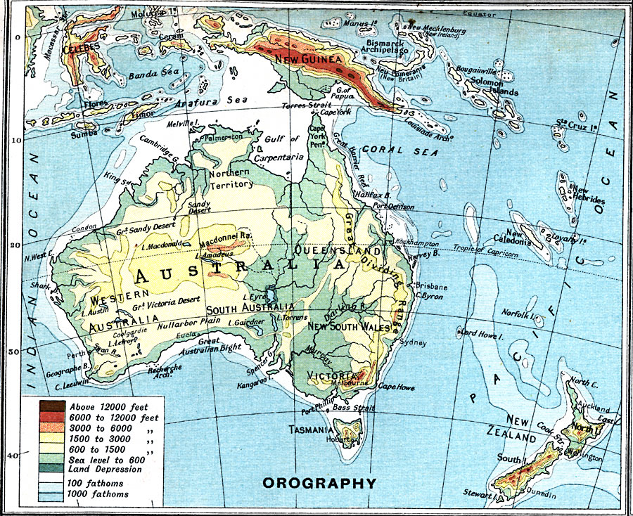
Description: A map from 1915 of Australia showing general land elevations above and below sea level throughout the region, mountain systems, basins, deserts, and plains.
Place Names: A Complete Map of Australia, Brisbane, �Melbourne, �Perth, �Sydne
ISO Topic Categories: inlandWaters,
oceans,
location,
boundaries,
elevation
Keywords: Australia – Orographical, physical, �topographical, �political, �borders, �boundaries, �elevation, physical features,
topographical, country borders, inlandWaters,
oceans,
location,
boundaries,
elevation, Unknown, 1915
Source: J.G. Bartholomew, A School Economic Atlas (London, England: Oxford University Press, 1915) 49
Map Credit: Courtesy the private collection of Roy Winkelman |
|