|
|
|
| Maps > Australia > Complete Maps |
Historic and contemporary maps of Australia, including physical and political maps, climate maps, relief maps, and economic/resource maps.
|
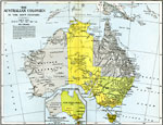
The Australian Colonies,
1786–1900 |
|
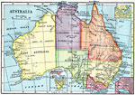
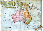
Australia,
1872 |
|
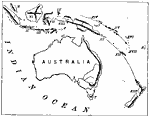
Australasian Chain,
1873 |
|
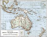
Great Archipelagoes and the Australian Colonies,
1879 |
|
Australia and Australasian Islands,
1882 |
|
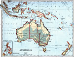
Australia and Islands of Oceania,
1883 |
|
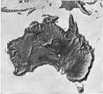
Landforms of Australia,
1885 |
|
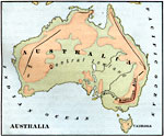
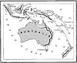
Australia,
1885 |
|
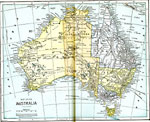
Relief Map of Australia,
1890 |
|
Australasian Island Chain,
1890 |
| Next | Last |
| Maps > Australia > Complete Maps |
Maps ETC is a part of the Educational Technology Clearinghouse
Produced by the Florida Center for Instructional Technology © 2009
College of Education, University of South Florida