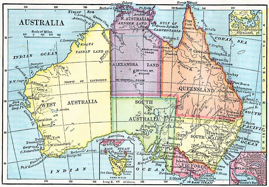
Description: A map of Australia in 1872 showing the states and territories of Australia at the time, including Tasman Land in Western Australia, Alexandra Land and Arnhem Land in North Australia, Queensland, South Australia, New South Wales, Victoria, and Tasmania. Major cities, ports, and rivers are shown. Inset maps detail Tasmania, Sydney, and Melbourne.
Place Names: A Complete Map of Australia, Sydney, �Melbourne, �Brisbane, �Townsville, �Newcastle, �Macka
ISO Topic Categories: boundaries,
inlandWaters,
location,
oceans
Keywords: Australia, physical, �political, physical features, county borders, boundaries,
inlandWaters,
location,
oceans, Unknown, 1872
Source: James Monteith, Comprehensive Geography (New York, New York: A. S. Barnes and Company, 1872) 87
Map Credit: Courtesy the private collection of Roy Winkelman |
|
